ATOMIC MINERAL RESONANCE TOMOGRAPHY (AMRT™)
The New Frontier in Satellite Mineral Exploration
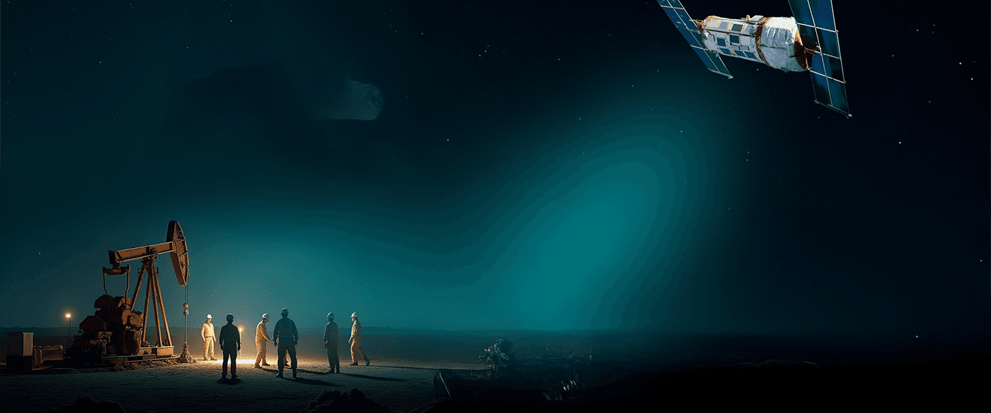
AMRT™ is our proprietary mineral exploration technology, designed to locate minerals, hydrocarbons, groundwater, and subsurface anomalies from space. Unlike traditional exploration methods that rely heavily on field surveys, sampling programs, and extensive drilling, AMRT™ uses advanced satellite technology for mineral exploration, AI-powered analysis, and geospatial data modeling to identify high-potential targets before the slower, costlier stages of exploration begin.. This innovative approach to satellite mineral detection helps exploration teams accelerate discovery, reduce risk, and make more informed decisions throughout the exploration lifecycle.
How AMRT™ Locates Minerals From Space
Every element on Earth produces a unique resonance signature. AMRT™ combines multiple layers of remote sensing mineral exploration, scientific modeling, and AI mineral exploration capabilities to detect and analyze these signatures from satellite data.
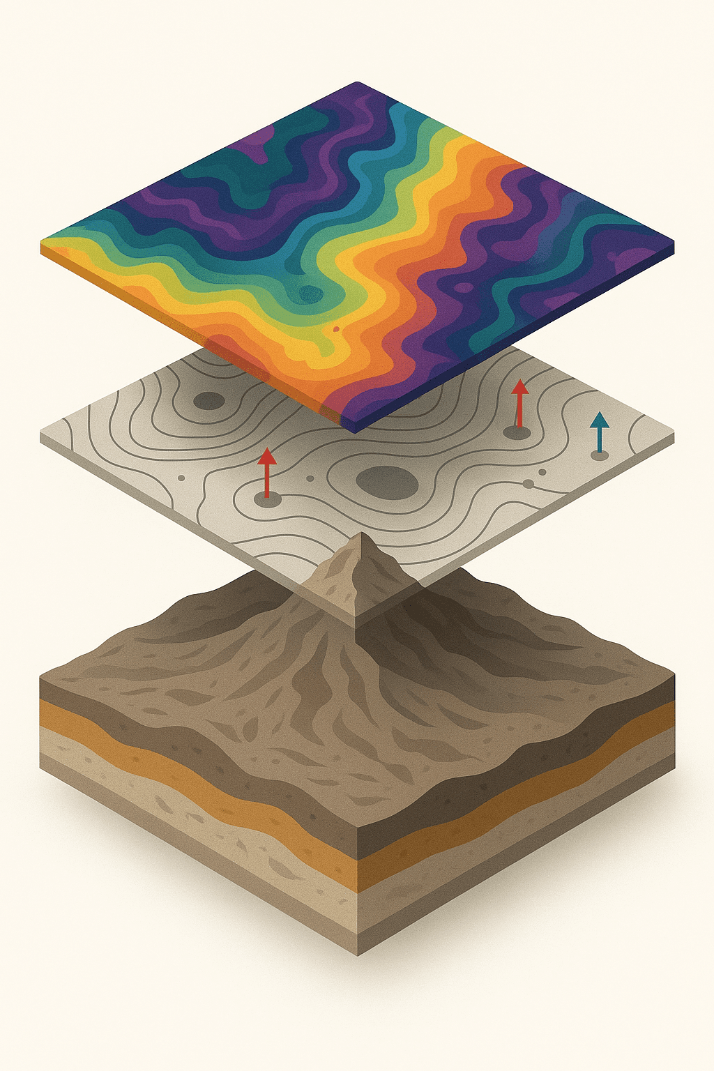
Multispectral & Hyperspectral Imaging Advanced hyperspectral mineral exploration techniques capture electromagnetic data across specific wavelengths, helping identify mineral signatures that are invisible to conventional observation methods.
Gravitational & Magnetic Field Analysis Satellite geophysics data is used to identify anomalies in the Earth's natural magnetic and gravitational fields, helping pinpoint areas with increased mineralization potential.
Geological & Topographic Modeling
Terrain elevation models, historical geological datasets, and geological mapping technology are combined to improve targeting accuracy and reduce false positives.
Proprietary AI Analytics
Our mineral prospecting with AI framework is trained using global geological datasets to identify patterns associated with known mineral deposits and subsurface structures.
Why AMRT™ Matters
Traditional mineral exploration can take months or even years to generate actionable targets, often requiring substantial investment before geological potential is confirmed.
AMRT™ offers an alternative to traditional mineral exploration by providing rapid, non-invasive exploration intelligence from satellite data.

Rapid
These rapid mineral exploration methods deliver results in 15-45 days, accelerating project evaluation and exploration planning.
Accurate
AMRT™ has demonstrated up to 93% correlation with verified deposits and known subsurface targets.
Sustainable
A non-invasive exploration technology that minimizes environmental disturbance and reduces the need for unnecessary field activities.
Cost-Efficient
Supports drilling risk reduction by helping exploration teams prioritize targets before committing significant capital.
Globally Scalable
Effective across remote regions, challenging terrain, and politically sensitive environments where traditional exploration can be difficult or costly.
Advanced Subsurface Mineral Exploration
By combining satellite-based mineral exploration, AI-powered geological exploration, and advanced geospatial analysis, AMRT™ generates detailed subsurface intelligence for exploration teams. The result is a layered 2D and 3D interpretation of the subsurface that supports:
• Pinpoint targets with satellite mineral detection
• Map structures at depth through underground mineral mapping
• Prioritize drill sites with precise exploration targeting
• Survey inaccessible ground via remote mineral detection
• See beneath the surface with satellite subsurface imaging
• Validate and rank prospects before capital is committed
This allows organizations to focus exploration efforts on the most promising targets so teams can concentrate budgets on the highest-probability targets.
A Smarter Approach to Resource Discovery
Find Fast. Drill Less. Save More.
Exploration teams are under pressure to find more, faster, and with less waste - and AMRT™ was built for exactly that. AMRT™ helps organizations locate resources, evaluate opportunities, and improve exploration efficiency through a combination of satellite mineral exploration, advanced data science, and AI-driven geological interpretation.