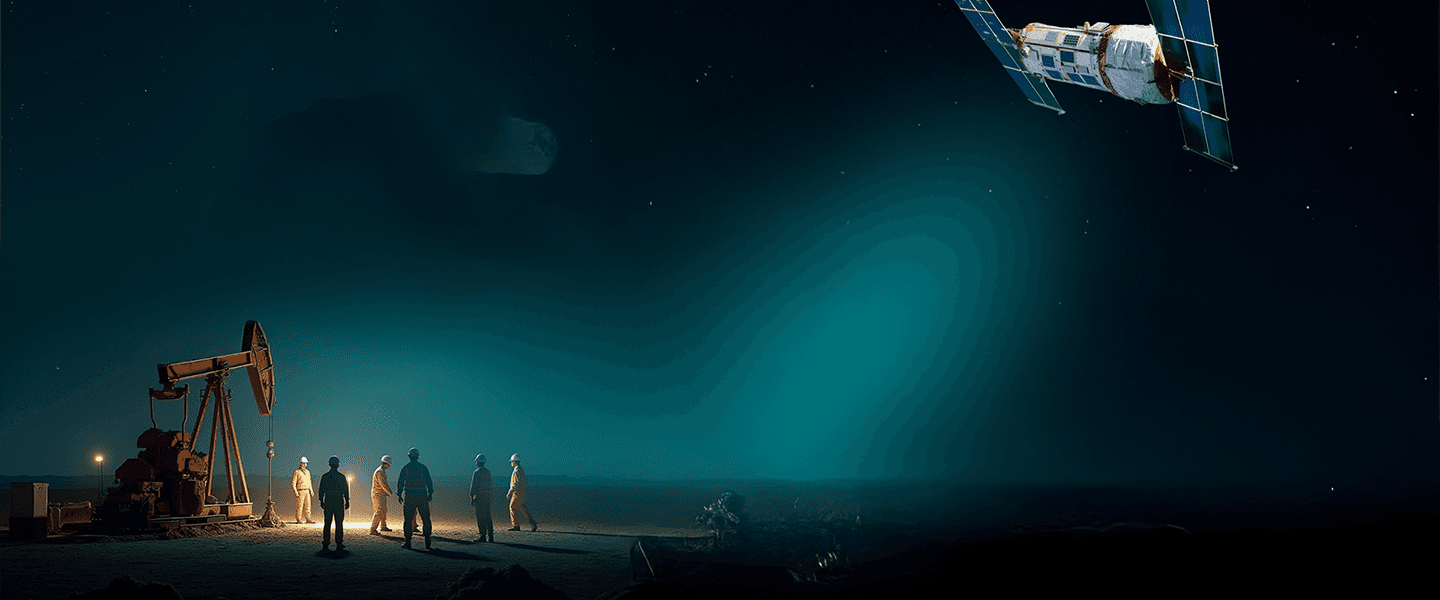
LOCATE EARTH'S MINERALS FROM SPACE
WE LOCATE
EARTH's MINERAL FROM SPACE
Advanced Satellite Mineral Exploration Technology
Our satellite-based mineral exploration platform combines advanced physics, AI-powered analysis, and remote sensing technology to help exploration teams locate high-potential targets faster while reducing cost, environmental impact, and drilling risk.
Our satellite-based mineral exploration platform combines advanced physics, AI-powered analysis, and remote sensing technology to help exploration teams locate high-potential targets faster while reducing cost, environmental impact, and drilling risk.
• Precious & Base Metals (Gold, Copper, Lithium, Rare Earths)
• Energy Resources (Oil, Gas, Hydrocarbons)
• Groundwater & Aquifers
• Archaeological & Historical Targets
• Precious & Base Metals (Gold, Copper, Lithium, Rare Earths)
• Energy Resources (Oil, Gas, Hydrocarbons)
• Groundwater & Aquifers
• Archaeological & Historical Targets
CC EXPLORATIONS
We are the DISCOVERERS of the unseen
Satellite-enabled. Data-driven. Field-proven.
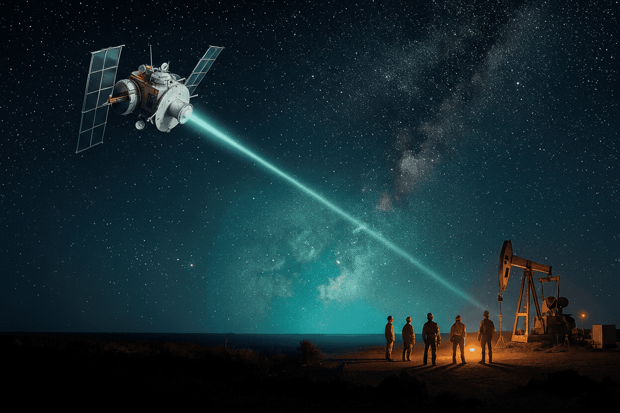
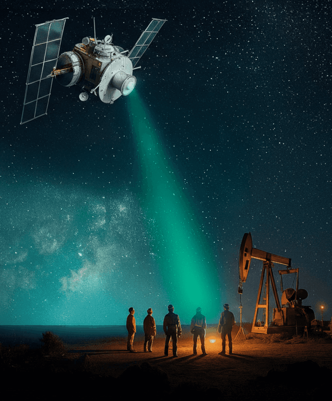
CC Explorations helps organizations uncover valuable subsurface resources through advanced satellite mineral detection and exploration targeting technology. Powered by our proprietary Atomic Mineral Resonance Tomography (AMRT™) platform, we support mineral exploration, oil and gas discovery, groundwater mapping, and archaeological investigations worldwide. Our technology is fast, scalable, and non-invasive, delivering actionable exploration intelligence before costly field campaigns begin.
Satellite-enabled. Data-driven. Field-proven.
CC Explorations helps organizations uncover valuable subsurface resources through advanced satellite mineral detection and exploration targeting technology. Powered by our proprietary Atomic Mineral Resonance Tomography (AMRT™) platform, we support mineral exploration, oil and gas discovery, groundwater mapping, and archaeological investigations worldwide. Our technology is fast, scalable, and non-invasive, delivering actionable exploration intelligence before costly field campaigns begin.
OUR SPECIALIZATIONS
OUR SPECIALIZATIONS
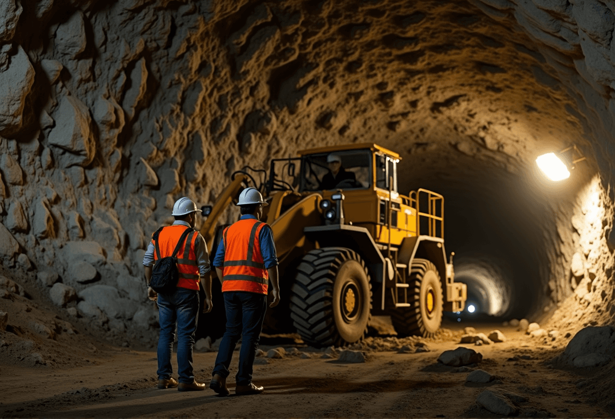
DISCOVER MINEABLE
RESOURCES
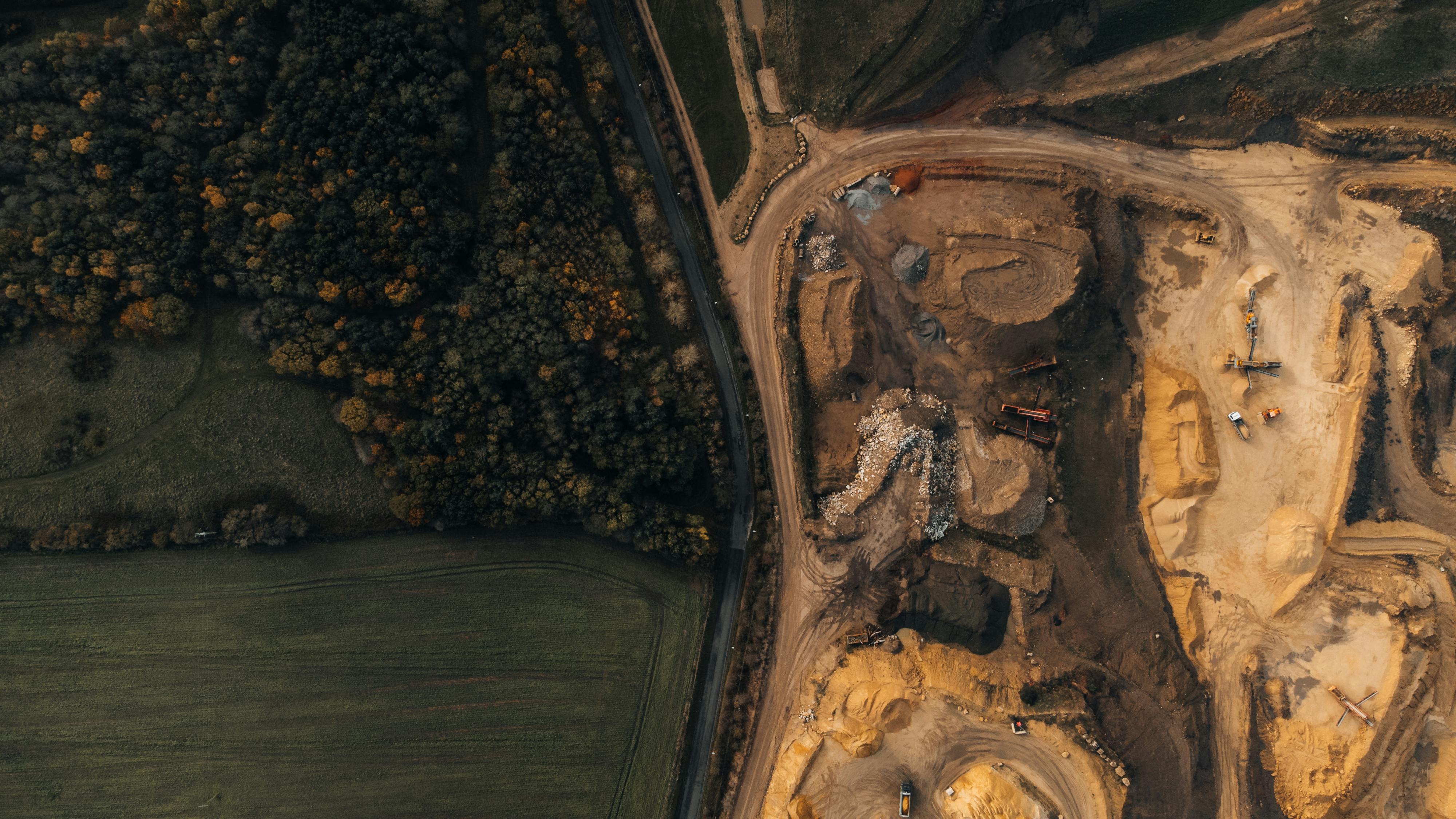
Identify high-value mineral targets through advanced satellite mineral exploration and subsurface mineral mapping.
Identify high-value mineral targets through advanced satellite mineral exploration and subsurface mineral mapping.
DISCOVER MINEABLE
RESOURCES
Identify high-value mineral targets through advanced satellite mineral exploration and subsurface mineral mapping.
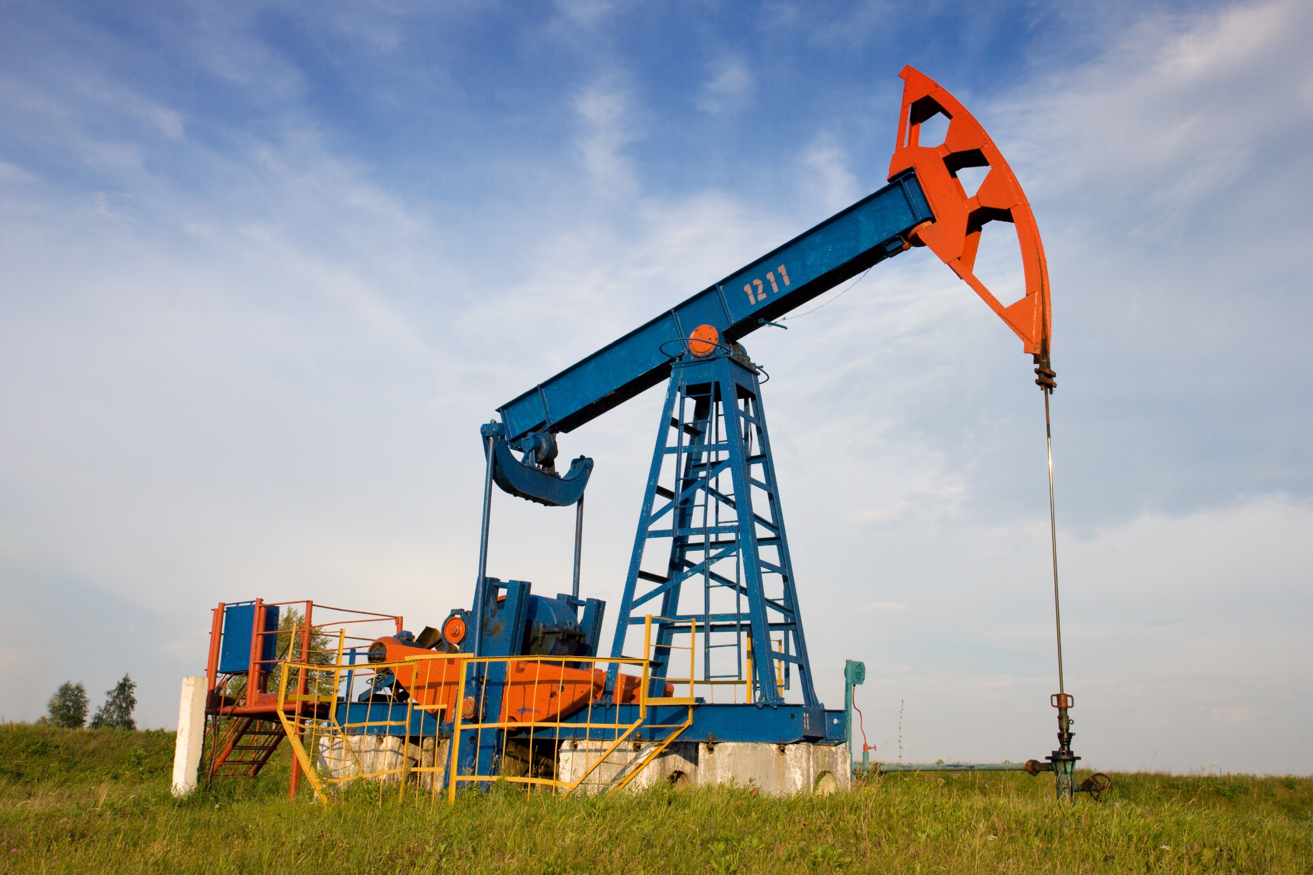
LOCATE OIL & GAS
Detect hydrocarbon-bearing zones and subsurface structures remotely without relying exclusively on expensive seismic programs.
Discover hidden hydrocarbon zones and subsurface structures without costly seismic surveys.
Faster, cleaner, and entirely remote.
Discover hidden hydrocarbon zones and subsurface structures without costly seismic surveys. Faster, cleaner, and entirely remote.
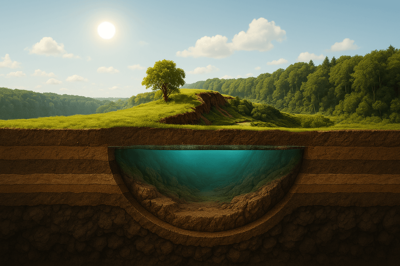
MAP HYDROGEOLOGY
Discover aquifers, groundwater reserves, voids, and subsurface water systems using advanced remote sensing technology.
Discover aquifers, groundwater reserves, voids, and subsurface water systems using advanced remote sensing technology.
LOCATE OIL & GAS
Discover hydrocarbon zones and subsurface structures without costly seismic surveys.
Faster, cleaner, and entirely remote.
DISCOVER MINING
Pinpoint high-value mineral targets quickly — no drilling required.
Accelerate early-stage exploration, validate claims, and shape smarter strategies.
LOCATE OIL & GAS
Uncover hydrocarbon zones and subsurface structures without costly seismic surveys.
Faster, cleaner, and entirely remote.
MAP HYDROGEOLOGY
See beneath the surface to identify aquifers, voids, and groundwater reserves — all without fieldwork. A powerful tool for agriculture, urban planning, and drought resilience.
See beneath the surface to identify aquifers, voids, and groundwater reserves — all without fieldwork. A powerful tool for agriculture, urban planning, and drought resilience.
MAP HYDROGEOLOGY
See beneath the surface to identify aquifers, voids, and groundwater reserves — all without fieldwork. A powerful tool for agriculture, urban planning, and drought resilience.
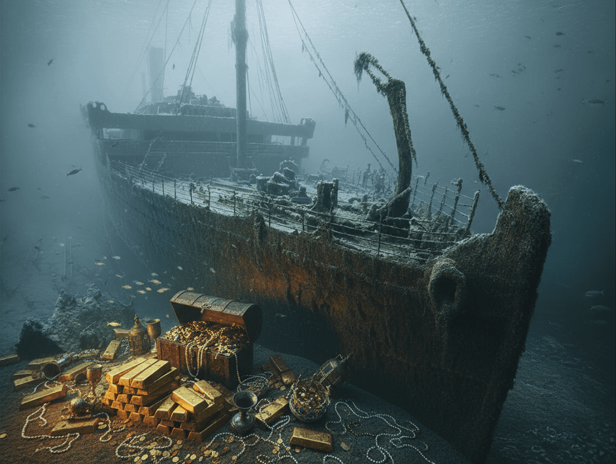
GEOLOGICAL TREASURE LOCATING
Locate buried structures, archaeological features, and unexplained subsurface anomalies without excavation.
Locate buried structures, archaeological features, and unexplained subsurface anomalies without excavation.
GEOLOGICAL TREASURE LOCATING
Locate buried structures, archaeological features, and unexplained subsurface anomalies without excavation.
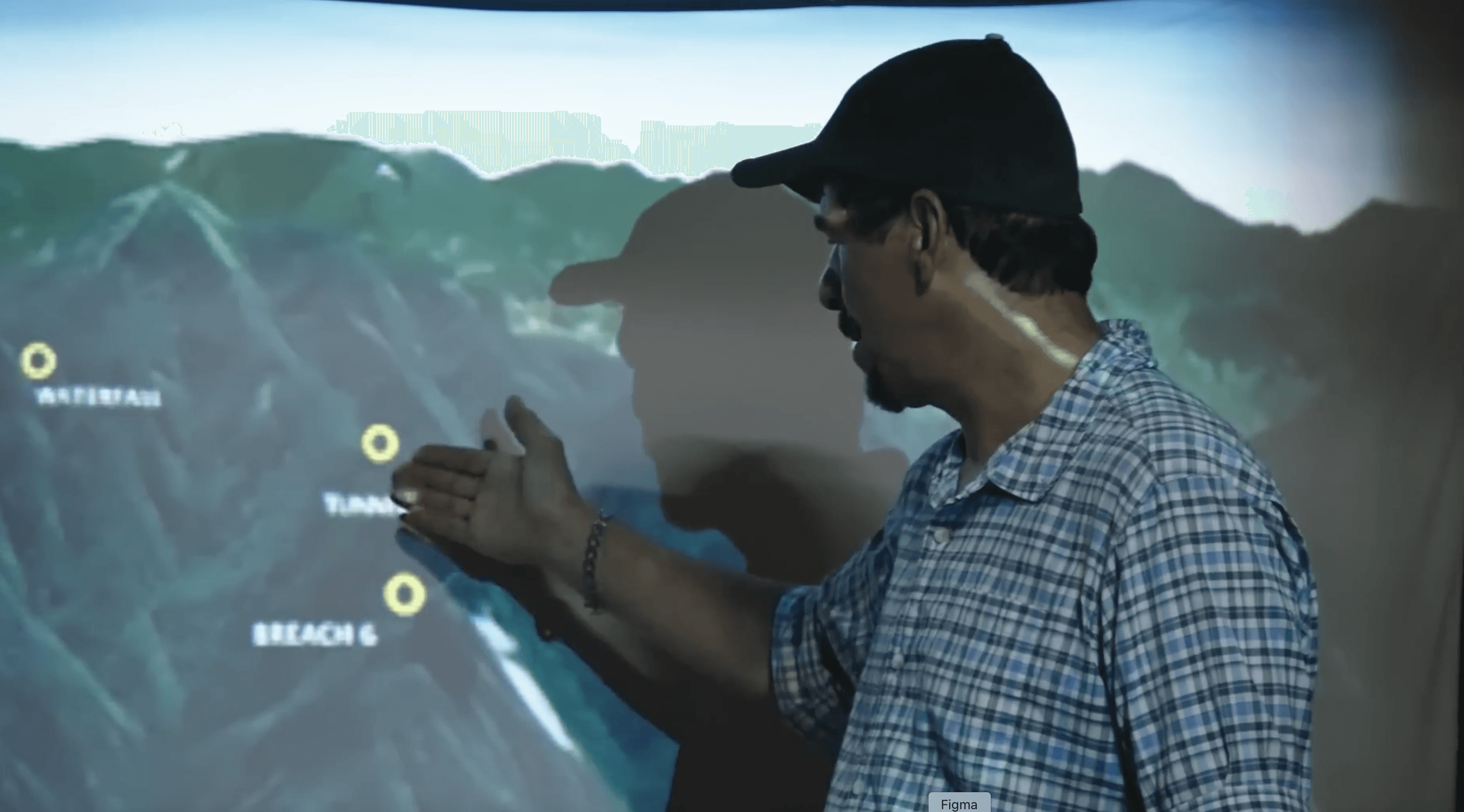
EMPOWER PRIVATE EXPLORATIONS
Support private resource discovery projects with advanced exploration targeting technology and detailed geological intelligence.
Support private resource discovery projects with advanced exploration targeting technology and detailed geological intelligence.
EMPOWER PRIVATE EXPLORATIONS
Drive your projects forward with cutting-edge subsurface intelligence. From early prospect to strategic validation, we make discovery faster and risk-free.

Start Your AMRT Exploration Assessment NOW!!!
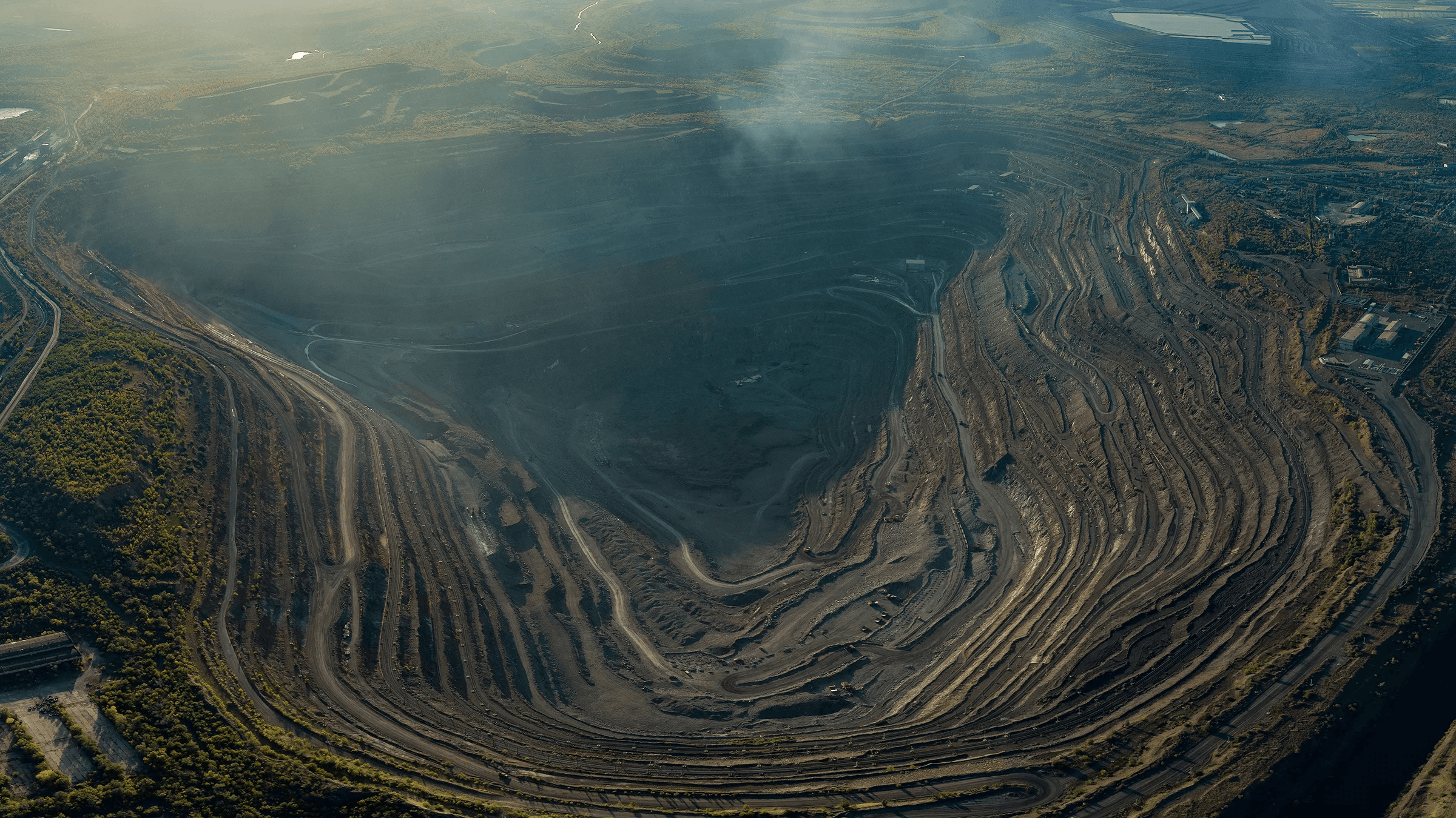
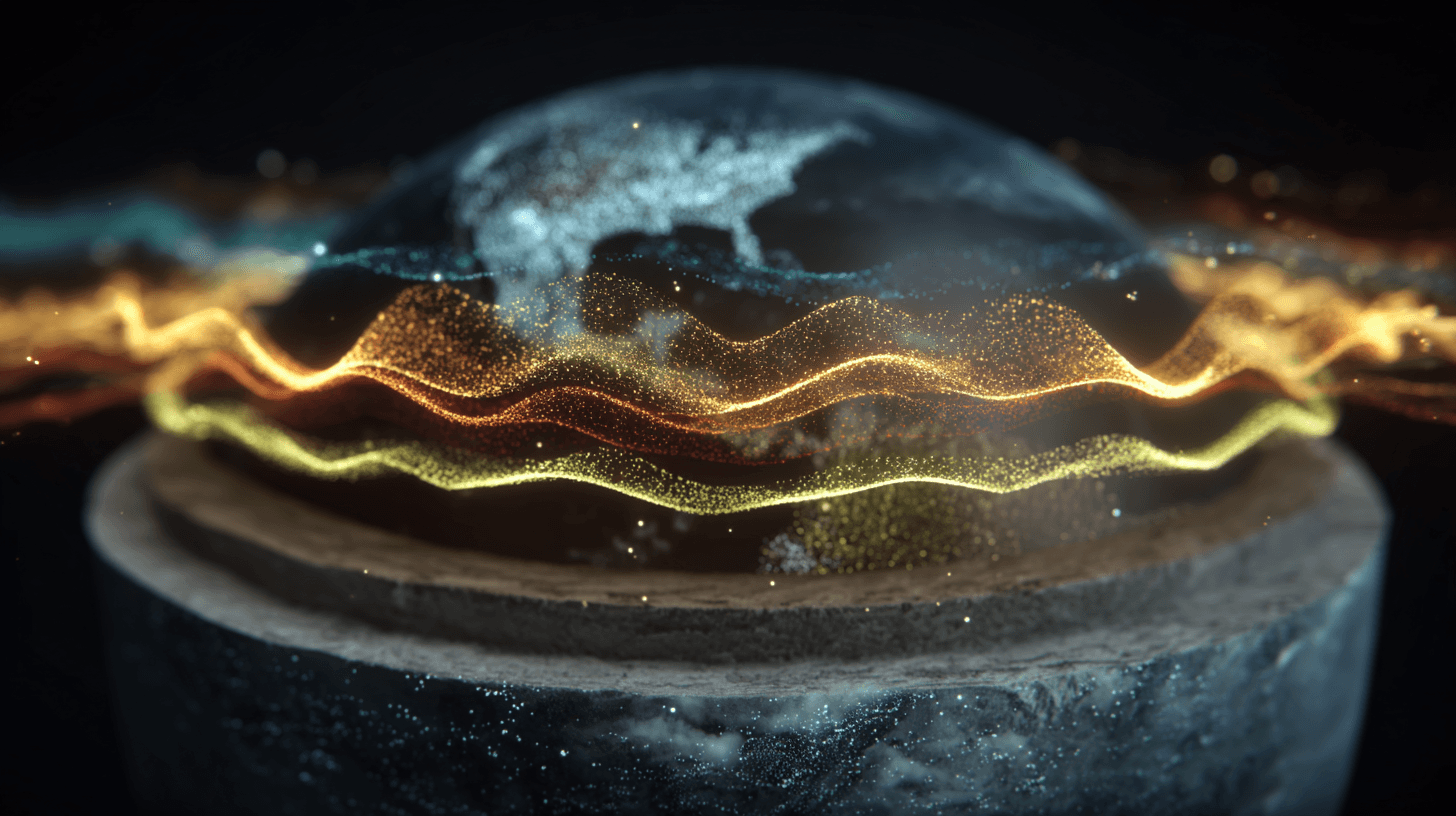
Every element on Earth produces a unique resonance signature.
Every element on Earth produces a unique resonance signature.
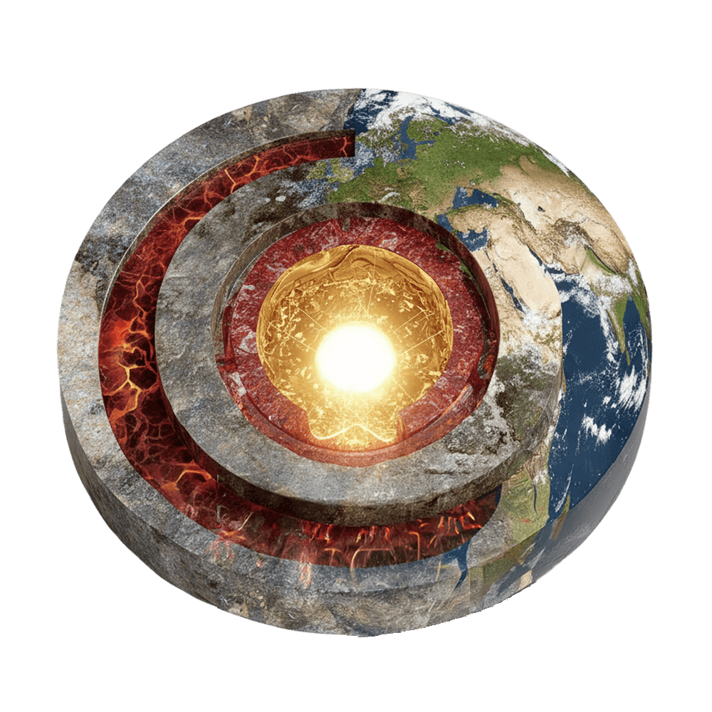
AMRT™ reads those signatures from orbit — detecting minerals, hydrocarbons, and groundwater without anyone setting foot on site.
AMRT™ reads those signatures from orbit — detecting minerals, hydrocarbons, and groundwater without anyone setting foot on site.
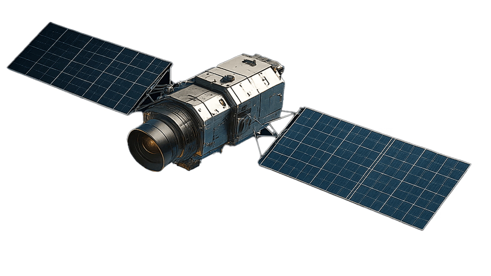
Advanced physics and AI turn that raw signal into a clear picture of what lies beneath the surface.
Advanced physics and AI turn that raw signal into a clear picture of what lies beneath the surface.

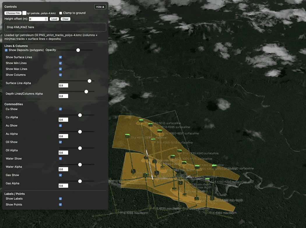
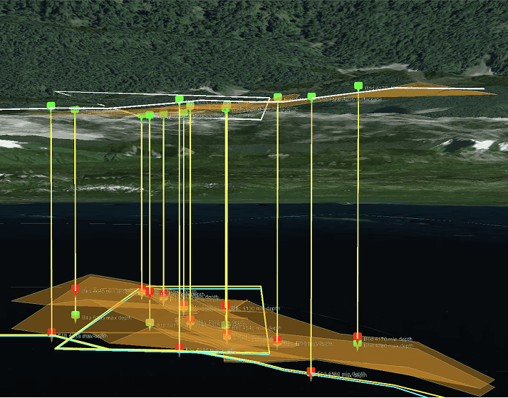
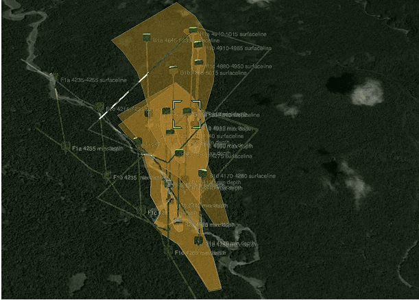
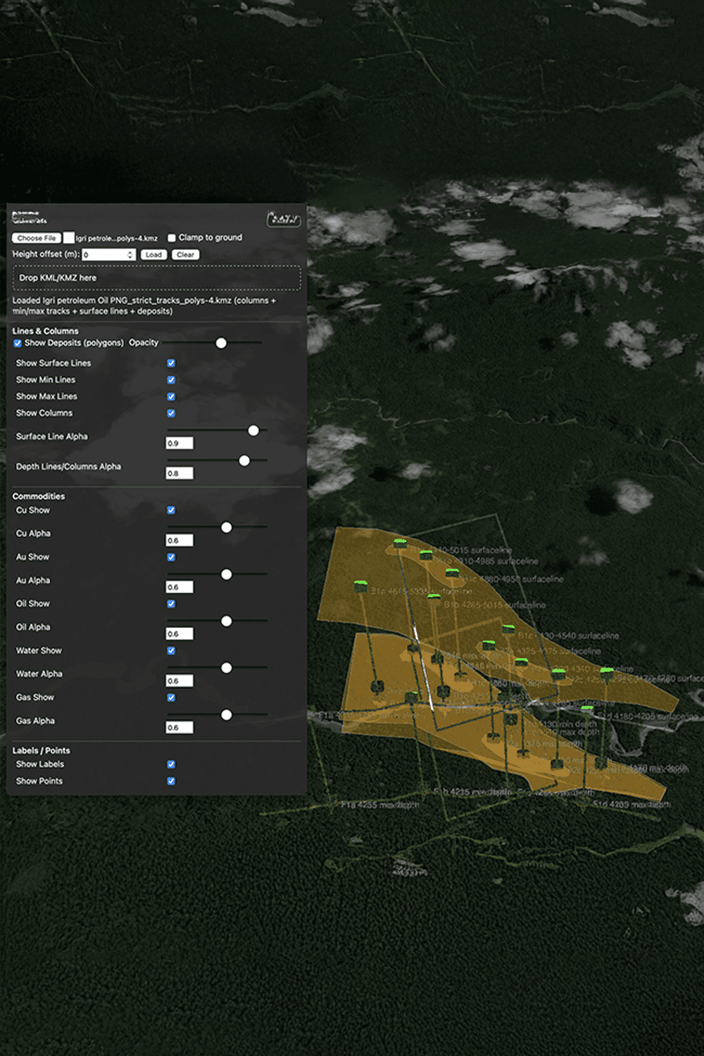
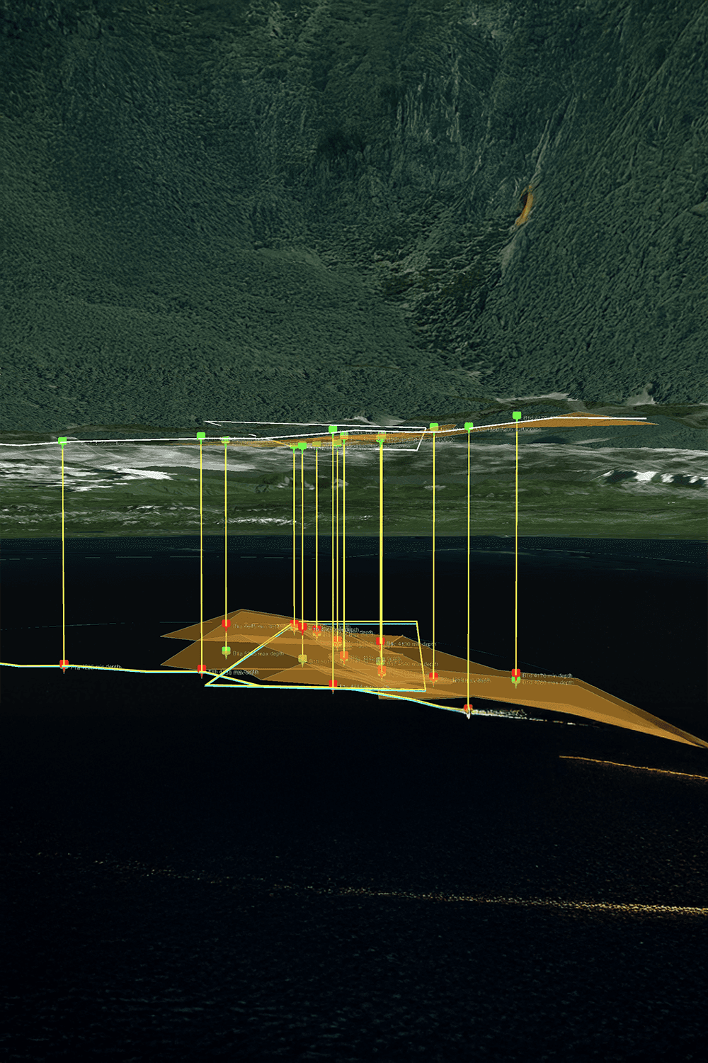
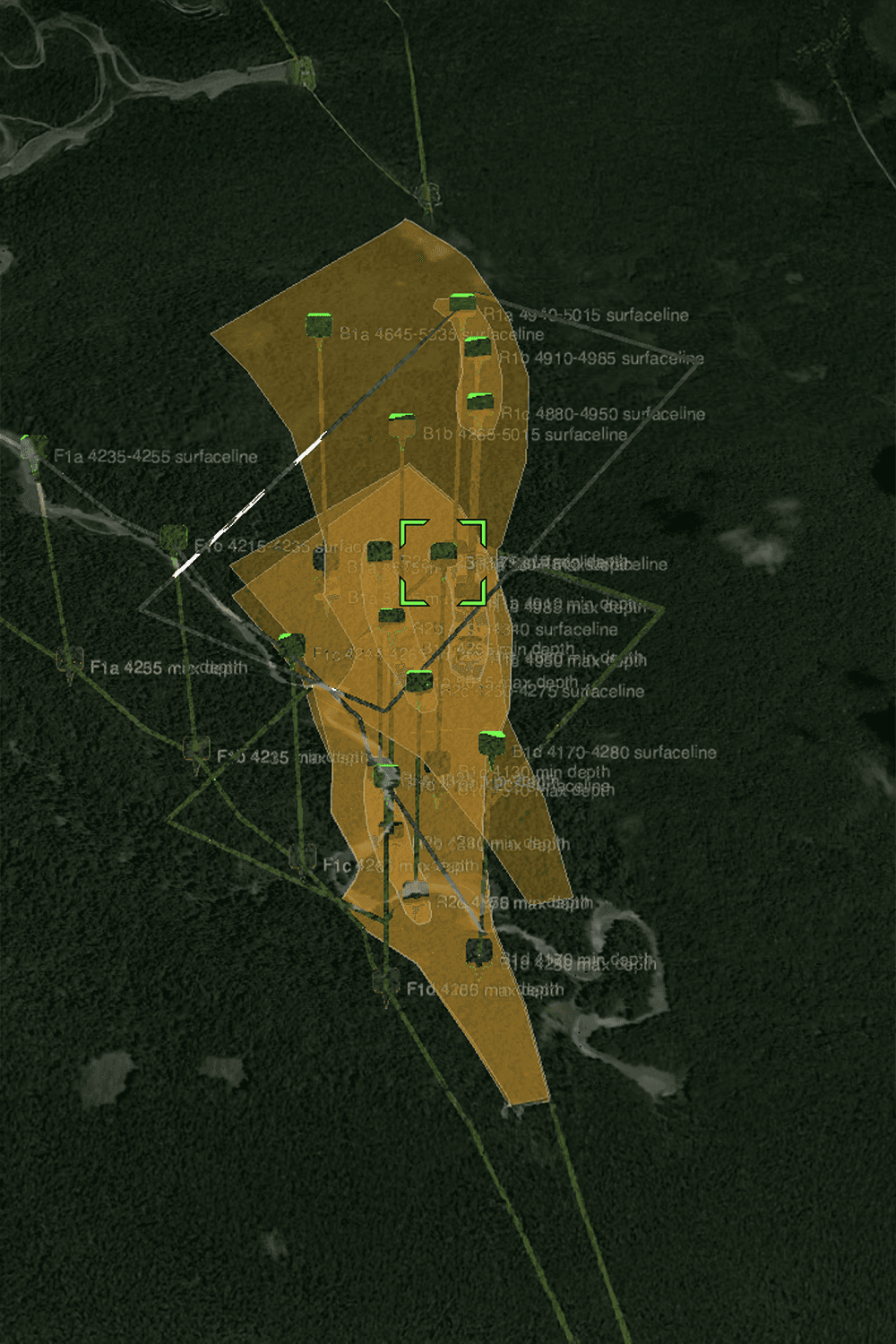
The result: drill-ready maps in Google Earth's KMZ format, with optional access to our 3D GeoLab platform.
The result: drill-ready maps in Google Earth's KMZ format, with optional access to our 3D GeoLab platform.


Benefits
• Up to 93% reported accuracy
• Non-invasive exploration methodology
• Reduced drilling risk
• Faster target validation
• Global deployment capability
• Sustainable exploration approach
Benefits
• Up to 93% reported accuracy
• Non-invasive exploration methodology
• Reduced drilling risk
• Faster target validation
• Global deployment capability
• Sustainable exploration approach
GLOBAL PRESENCE
CC Explorations delivers satellite-based mineral exploration services worldwide - from remote mining districts to frontier regions where conventional exploration is difficult or costly.
We work all over the world with a large number of projects developed.
We work all over the world with a large number o
Explore Our projects
More Than Two Decades of
Exploration Experience
For over 20 years, CC Explorations has been advancing the science of satellite-assisted resource discovery.
AMRT™ technology enables the remote detection of minerals, hydrocarbons, groundwater, and subsurface anomalies, helping exploration teams prioritize targets before committing to drilling or large field programs.
By combining scientific innovation with practical exploration expertise, we help organizations make better decisions, reduce uncertainty, and improve project efficiency.
For over 20 years, CC Explorations has been advancing the science of satellite-assisted resource discovery.
AMRT™ technology enables the remote detection of minerals, hydrocarbons, groundwater, and subsurface anomalies, helping exploration teams prioritize targets before committing to drilling or large field programs.
For over 20 years, CC Explorations has been advancing the science of satellite-assisted resource discovery.
AMRT™ technology enables the remote detection of minerals, hydrocarbons, groundwater, and subsurface anomalies, helping exploration teams prioritize targets before committing to drilling or large field programs.
By combining scientific innovation with practical exploration expertise, we help organizations make better decisions, reduce uncertainty, and improve project efficiency.