


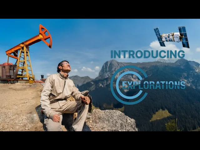
MAP EARTH’S MINERALS FROM SPACE
Our satellite-based exploration platform combines advanced physics, AI-powered analysis, and remote sensing to help teams locate high-potential targets faster — with lower cost, less drilling, and a lighter environmental footprint.
Start Your AMRT Exploration Assessment
A new perspective on exploration
We are the discoverers of the unseen.
Subscribe for insights on how advanced physics, AI-powered analysis, and remote sensing help identify high-potential targets before costly field campaigns.
Built for a better-informed first step
20+ years
EXPLORATION EXPERIENCE
More than two decades of discovery.
Satellite
SATELLITE-ENABLED
Remote sensing, without surface intrusion.
Global
EXPLORATION REACH
More than 1,000 clients, from mining districts to frontier regions.
KMZ
DRILL-READY DELIVERABLES
Target maps for Google Earth.

From orbital signals to exploration intelligence
CONCEPTUAL VISUALIZATION / NOT A PROJECT RESULT
What lies below changes what comes next.
CC Explorations helps teams locate high-potential mineral, energy and groundwater targets faster—while reducing cost, environmental impact and drilling risk.
Discover AMRT Technology
The science of seeing deeper
Atomic Mineral Resonance Tomography.
AMRT™
Our proprietary satellite exploration technology detects the signatures of minerals, hydrocarbons and groundwater. Discover a new way to understand the unseen.
Start Your AMRT Exploration Assessment
A signature for every element
Every element on Earth produces a unique resonance signature. AMRT reads those signatures from orbit.
Physics meets AI
Advanced physics and AI-powered analysis convert satellite signals into subsurface intelligence.
Non-invasive by design
Explore without disturbing the surface. Focus field campaigns where they matter most.
Intelligence you can use
Drill-ready maps in Google Earth’s KMZ format, with optional 3D GeoLab access.

A clearer path to your next discovery
Exploration intelligence. From possibility to priority.
Sign up for the CC Explorations newsletter for updates on how advanced physics, AI-powered analysis, and remote sensing can help pinpoint promising targets before costly field campaigns.
VISUALIZATIONS ARE CONCEPTUAL. DELIVERABLES VARY BY EXPLORATION SCOPE.


One platform. Many frontiers.
A deeper view of opportunity.
Across resources, landscapes and exploration ambitions, see what is possible before you break ground.
Discover mineable resources
Locate high-potential mineral targets and focus exploration efforts before costly drilling.
GOLD / COPPER / LITHIUM / RARE EARTHS
LEARN MORE
Locate oil & gas
Use orbital signatures to identify potential energy resources and inform exploration priorities.
OIL / GAS / HYDROCARBONS
LEARN MORE
Map hydrogeology
Understand potential groundwater and aquifer targets through non-invasive remote sensing.
GROUNDWATER / AQUIFERS
LEARN MORE
Geological treasure locating
Reveal the unseen with satellite-enabled exploration for archaeological and historical sites.
ARCHAEOLOGICAL / HISTORICAL SITES
LEARN MORE
Empower private explorations
Bring exploration intelligence to privately led resource discovery, with an assessment tailored to your area.
PRIVATE EXPLORATION / TARGET ASSESSMENT
LEARN MORE
A global perspective
More than two decades of exploration experience, from remote mining districts to frontier regions.
GLOBAL REACH / LOCAL EXPLORATION
LEARN MORE
Intelligence with a purpose
See it. Map it. Explore it.
ILLUSTRATIVE IMAGERY

01 / GOOGLE EARTH · KMZ
Drill-ready target maps
Exploration intelligence in a familiar geospatial format, ready to inform your field planning.

02 / OPTIONAL · 3D GEOLAB
A subsurface perspective
Optional 3D GeoLab access adds spatial context to your exploration intelligence.

03 / NON-INVASIVE EXPLORATION
A lighter footprint
Validate targets faster and reduce drilling risk with a sustainable remote-sensing approach.
CONNECT WITH US
Fill out the form below, or watch the video for help entering your coordinates.

Satellite-enabled. Data-driven. Field-proven.